

Precision aerial mapping solutions
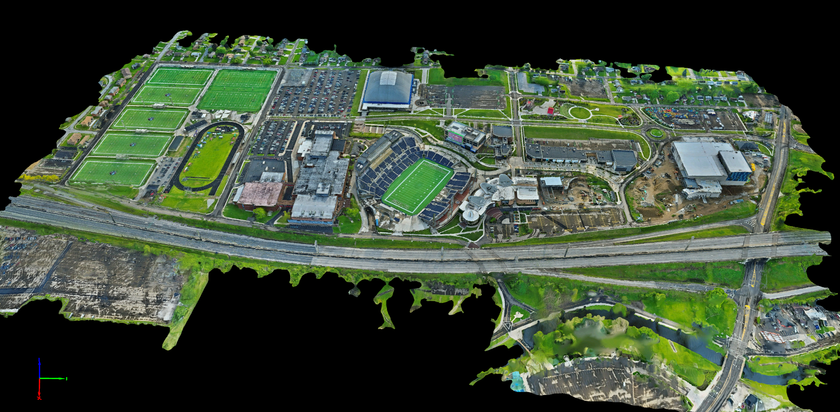
At Integrity Aerial Imaging, we provide advanced 3D mapping and aerial modeling services utilizing industry-leading drone technology, RTK positioning systems, and professional photogrammetry software to deliver high-quality visual datasets for commercial, industrial, construction, agricultural, and municipal clients. Our 3D mapping services allow clients to view projects, properties, and infrastructure from an entirely new perspective with highly detailed aerial imagery and immersive digital models.
Industries we serve
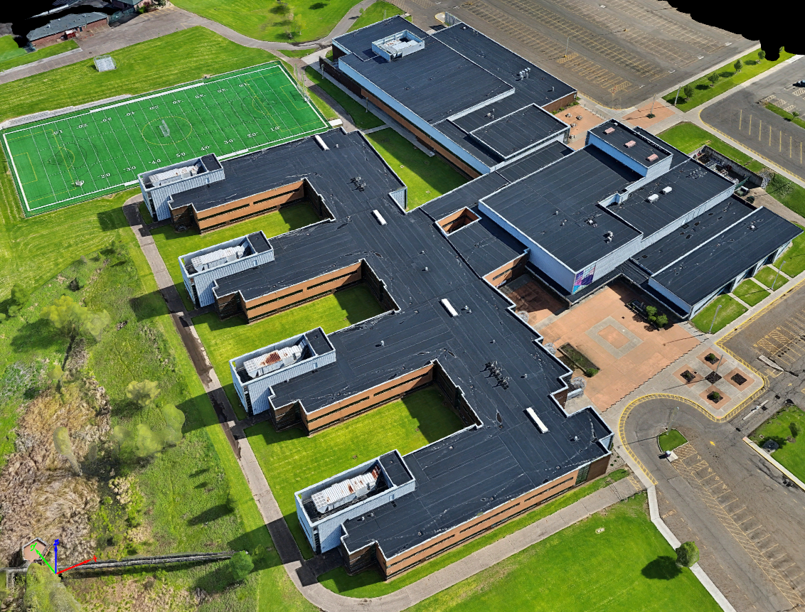
Our 3D mapping services are invaluable for a wide range of clients including schools, property owners, developers, and construction companies. We empower these sectors with detailed aerial perspectives and digital models to enhance project understanding and management.
Solving your site challenges
We help overcome common challenges such as limited site visibility and difficult or unsafe inspections. Traditional ground-level views often miss critical details of large properties or complex structures. Our drone-based mapping provides a comprehensive bird's-eye perspective, offering highly detailed imagery and 3D models. Furthermore, drone-based mapping allows inspections to be completed faster, safer, and with minimal operational disruption, unlike methods requiring expensive equipment or site shutdowns.

Comprehensive project documentation
Many companies struggle with effective project progress tracking. Our orthomosaic maps and 3D models provide accurate visual documentation for construction progress, land development, and infrastructure integrity, ensuring you always have a clear understanding of your project's lifecycle.